Velocity Profiler (600kHz)
- Reference Designator
- CE05MOAS-GL383-03-ADCPAM000
- Start Depth
- 0
- End Depth
- 1,000
- Location
- Current Status
- Review Complete
- M2M Example
- https://ooinet.oceanobservatories.org/api/m2m/12576/sensor/inv/CE05MOAS/GL383/03-ADCPAM000/metadata
| Method | Data Stream | Content | Type | |
|---|---|---|---|---|
| recovered_host | adcp_bottom_track_config | Bottom Track Configuration Data | Report M2M | Engineering |
| recovered_host | adcp_bottom_track_earth | Bottom Track Data Products in Earth Coordinates | Report M2M Stats | Science |
| recovered_host | adcp_config | Configuration Data | Report M2M | Engineering |
| recovered_host | adcp_engineering | Engineering Data | Report M2M | Engineering |
| recovered_host | adcp_velocity_glider | Data Products | Report M2M Stats | Science |
| Metadata | Start Date | End Date | Comment |
|---|---|---|---|
|
CE05MOAS |
Bad altimeter pings are apparent in many deployments of the coastal gliders. A few example plots are attached - m_water_depth plotted as semi-transparent bathymetry. By Lori Garzio, on 5/10/19 |
||
|
CE05MOAS |
Glider optodes typically exhibit a sensor lag of 20-25 seconds. Example attached of 3 consecutive down and up casts for CE05MOAS-GL312-04-DOSTAM000 on 7/8/2014 showing a typical measurement time lag. Profiles should be analyzed for individual time lags and data should be adjusted. OOI doesn't necessarily need to make the adjustment but users should be aware of the issue. By Lori Garzio, on 5/14/19  |
||
|
CE05MOAS-GL383-03-ADCPAM000 |
The majority (80-90%) of the seawater velocity data for each deployment are NaNs or outside of global ranges. See the science variable output for details: https://github.com/ooi-data-lab/data-review-tools/blob/master/data_review/output/CE05MOAS/CE05MOAS-GL383-03-ADCPAM000/CE05MOAS-GL383-03-ADCPAM000_sciencevar_summary.csv By Lori Garzio, on 5/1/19 |
||
|
CE05MOAS-GL383 Deployment: 3 |
Data should be annotated to explain why the deployment was so short. By Lori Garzio, on 5/1/19 |
||
|
CE05MOAS-GL383 Deployment: 4 |
3/1/17, 12:00 AM | 4/10/17, 12:00 AM |
This glider looks like it had a sampling change (similar to glider 319, see annotation ID 1371). This dataset should be annotated. By Lori Garzio, on 5/1/19 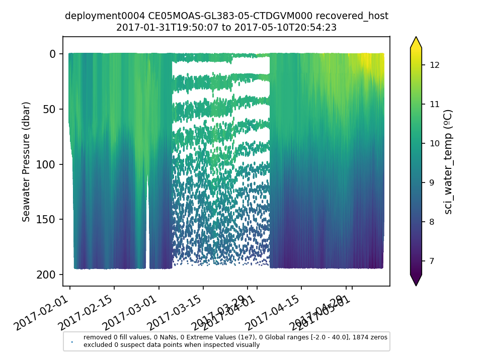 |
No annotations yet.